Upper Peninsula of Michigan Waterfalls
O Kun de kun Falls : Bond Falls : Ogemaw Falls : Quartzite FallsSilver Creek Falls : Wyandotte Falls : Scott Falls
Ogemaw Falls
View Ogemaw Falls picturesLocation: Baraga County - Ogemaw Creek
GPS Location: 46.645810, -88.507758 (where falls are)
GPS for parking: 46.646411, -88.506656 (mark this point and drive here)
Directions from L'Anse (US41 at Burger King) - 11 minutes and 9.5 miles
Directions from Marquette (US41 Walmart light) - 1hr 3 minutes and 57.7 miles
Directions from Crystal Falls (US141/US2 Jct) - 45 minutes and 44.6 miles
Directions from Watersmeet (Hwy45/US2 Jct) - 1hr 3 minutes and 57.9 miles
Directions from Wakefield (US141/US2 Jct) - 1hr 29 minutes and 84.4 miles
Hiking distance: < 0.1 miles (one-way)
Height of falls: about 8 feet (main drop)
Width: about 8 feet
Total waterfall drops: 4
Accessibility: 2 (scale 1-10 - view ratings)
Important information: Always take your time when hiking if an accident should occur help could be hours away. When you are hiking into a waterfall you should at minimum bring the suggested items below, better to be prepared for things than not prepared. Most of all ENJOY the Upper Peninsula waterfalls.
Things to consider bringing: camera, waterproof hiking boots/rubber boots, rain poncho/coat, headlamp/flashlight (if close to dark), bug spray(during bug season), rope/paracord, small first aid kit, whistle, small pack or waist pack, a friend, a dog.
Ogemaw Falls information:
Ogemaw falls are very easy to get to and worth the side trip while traveling on US41. See Driving directions below main information and GPS Markers are above.
Ogemaw Falls located along the Ogemaw Creek west of US41 just south of Baraga and right outside Alberta is a great side adventure. You will usually always find the water flowing as the water level at this falls is not totally dependent on current rainfalls or spring melt. It usually flows pretty steady throughout the year, however during the summer months it can slow down slightly, and of course with rain or spring melt it flows powerfully. Once you arrive at the GPS point for parking, make your way down the trail across from the pond into the forest, you'll see the small brown Ogemaw Falls sign (it kinda blends in). A short hike less than .1mi will take you into a forest of hemlock, a few pine, some birch, and maple. The trail is easy to follow and the walk is easy, usually clear but once in awhile a fallen tree crosses the path. You will soon reach the waterfalls, there a tiny drop (if you want to call it that) above the main falls, keep walking and you'll quickly see the top of the waterfalls. Walk around the side and you'll see a wonderful waterfall plunge into a peaceful and lush green forest (during spring and summer). You can get down close to the waterfalls and explore, or make your way down below the falls and see the roughly 35 foot slide falls that winds its way around and over a moss covered huge volcanic rock boulder. There is also a tiny crevice which water flows through most of the year which plunges down the backside of the huge rock, and drops about 12 feet down rejoining the river again. As the slide falls winds around, there is a tiny drop on the corner. Feel free to explore the area, the North Country Trail is close by also.
Driving directions - you can also plug in the GPS waypoints (above).
-Start at Burger King - 330 L'Anse Avenue, L'Anse, MI 49946
-Go southwest on US-41 N for about 8.0 mi
-Turn right onto Baraga Plains (road just before Alberta)
-Travel down Baraga Plains Rd for about 1.4 mi on the left side you will see a small pond, park on the right or left side of the road. The falls are on the right side, you will notice a small sign for Ogemaw Falls, Follow the path into the woods to the falls.
Enjoy and thanks for sharing on social media.
UP Falls Instagram
UP Falls Facebook
UpperPeninsulaWaterfalls Main Page
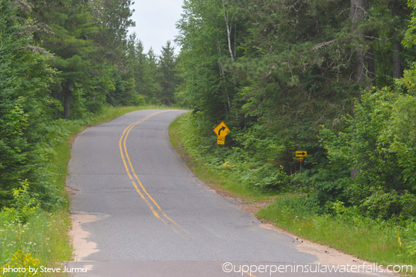
This looking up the road from where you park, could also park off the road if needed. Back to Top
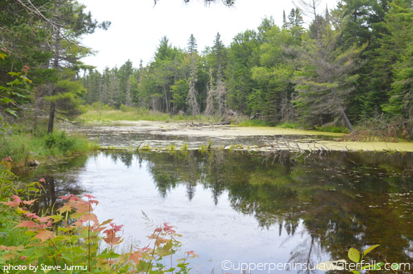
This is the pond on your left of where you park vehicle. Back to Top
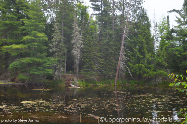
More of the pond across from the trail. Back to Top
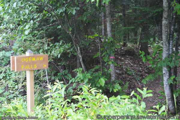
The sign on the right, trail leads into the forest. Back to Top
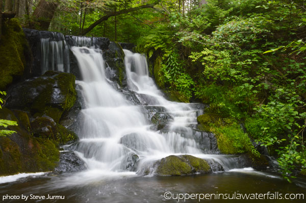
Wider view from below down the embankment. Careful climbing here. Back to Top
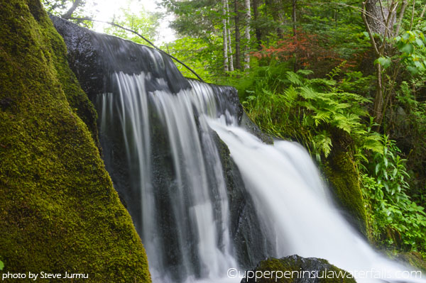
Top of the Ogemaw Falls. Took pic on the embankment. Back to Top
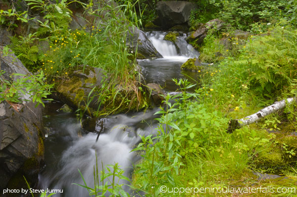
The 2nd drop from before the slide falls, it flows over the large rock. Back to Top
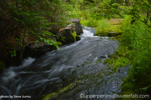
View of the slide falls about halfway down, standing on mossy area here. Back to Top
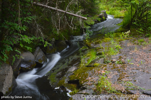
View of the whole slide, almost 40 feet total of drop until it turns. Back to Top
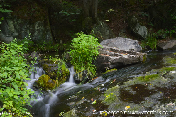
The corner of the slide with a couple small drops between some rocks. Back to Top
COMING SOON: Waterfalls by county
Alger :
Baraga :
Chippewa :
Delta :
Dickinson :
Gogebic
Houghton :
Iron :
Keweenaw :
Luce :
Mackinac :
Marquette
Menominee :
Ontonagon :
Schoolcraft
Houghton : Iron : Keweenaw : Luce : Mackinac : Marquette
Menominee : Ontonagon : Schoolcraft